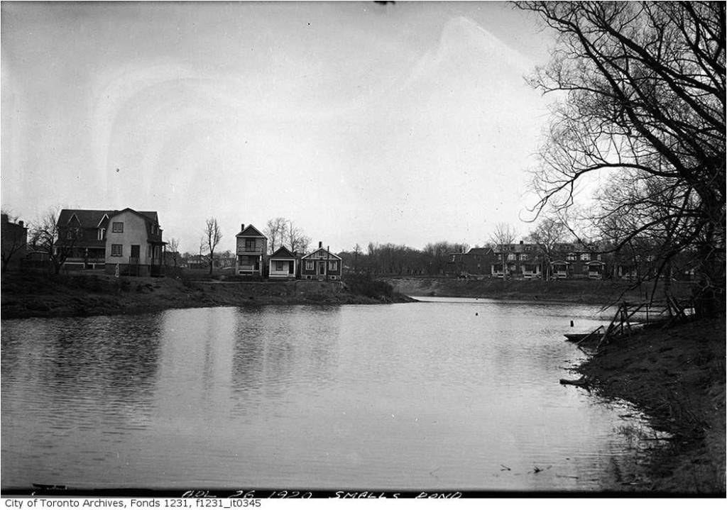
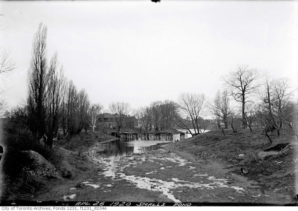
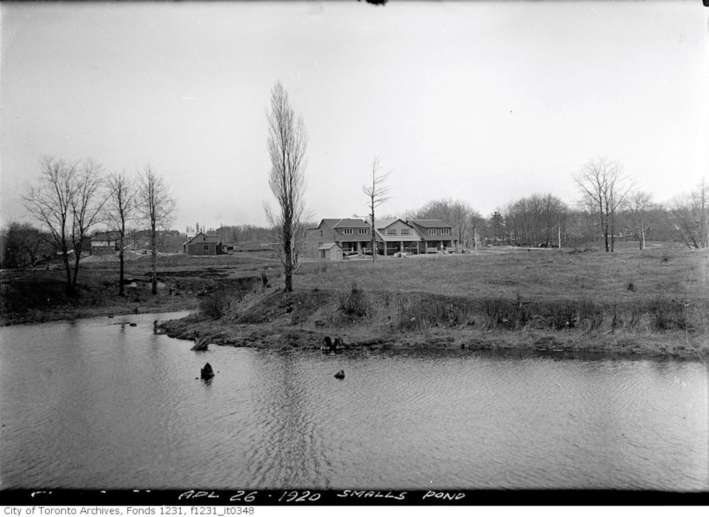
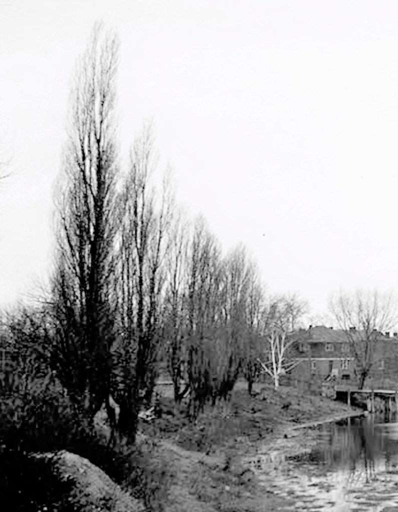
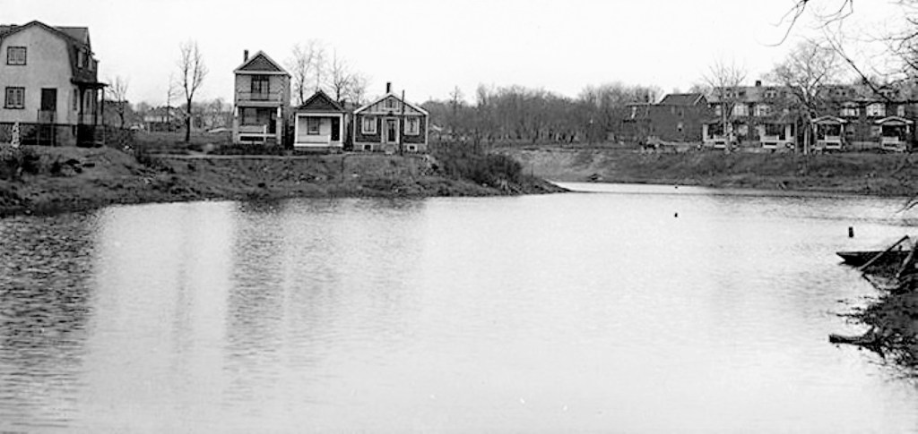
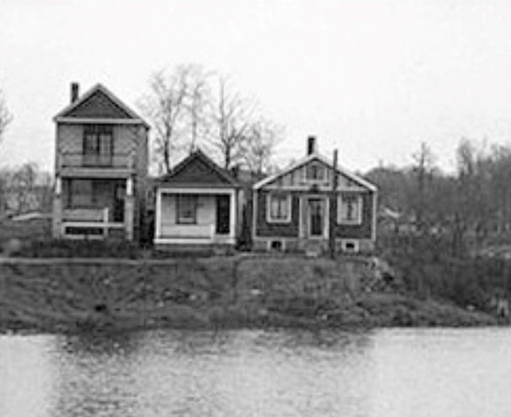
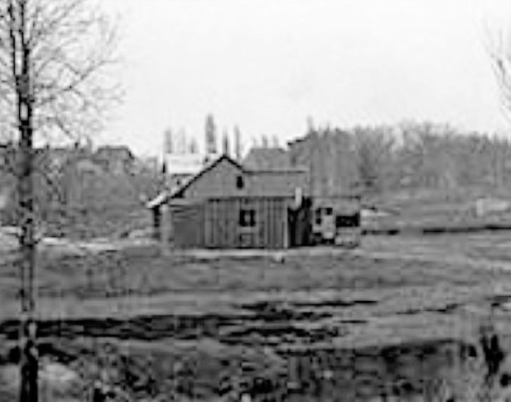
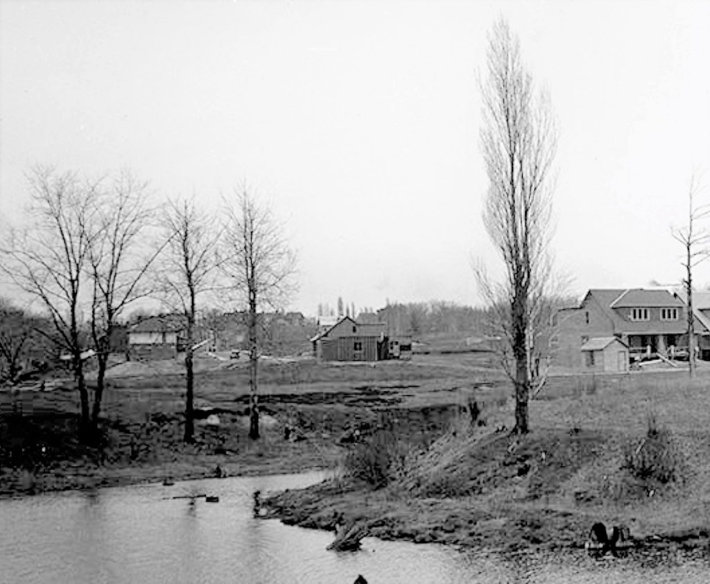
Small’s Pond April 26, 1920 Looking north from near BattenbergSmall’s Pond looking south to bridge, April 26, 1920Small’s Pond April 26, 1920, looking northSmall’s Pond April 26, 1920
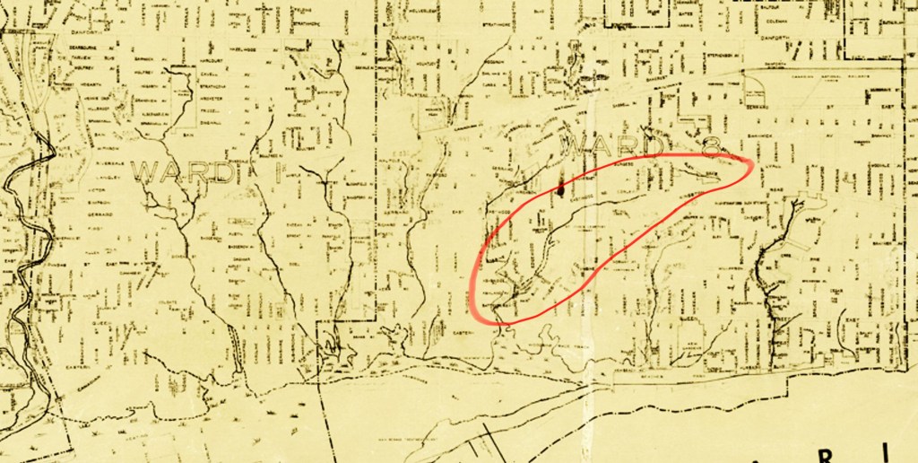
Creeks Woodbine-Coxwell 1918Tomlin’s Creek and the other lost streams of the east end, from a 1951 City of Toronto Engineer’s map
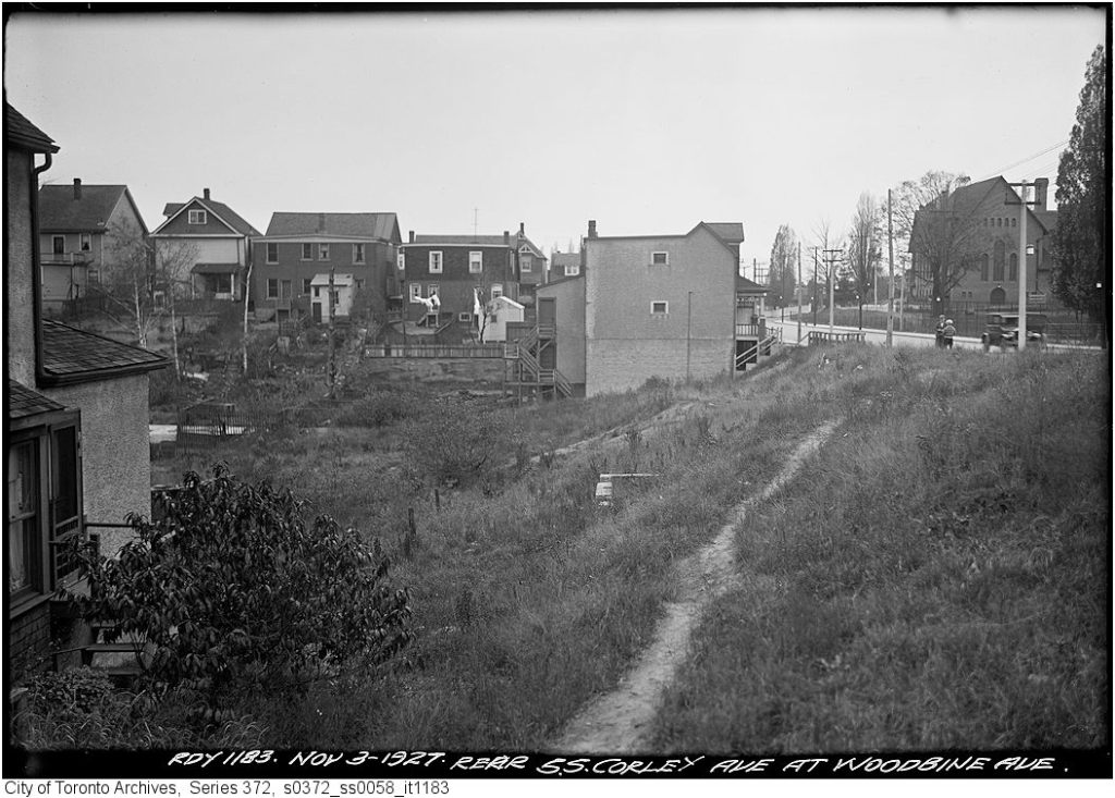
Tomlin’s Creek began where springs ran out of the sand and gravel banks just west of Main Street and south of Benlamond. It is now a “lost creek”, rerouted into the City of Toronto’s sewer system. But it still exists as a ghost creek running as ground water along the ravine.
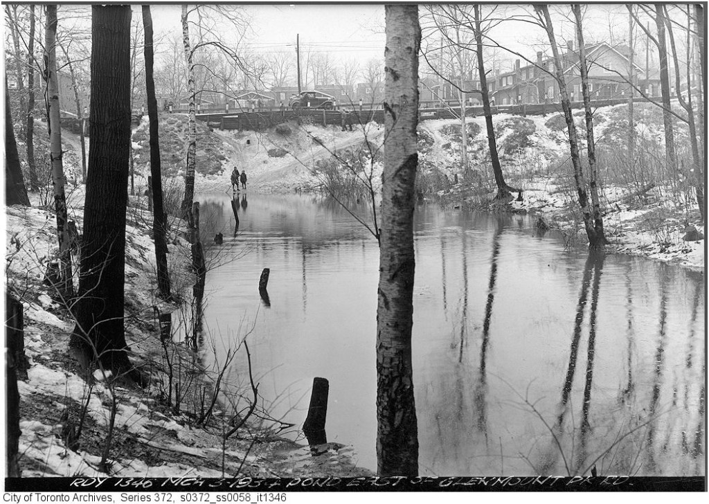
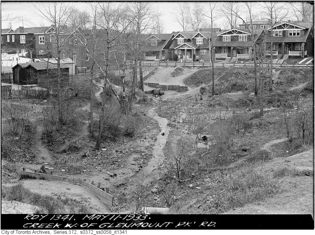
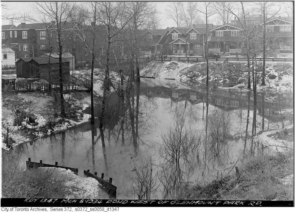
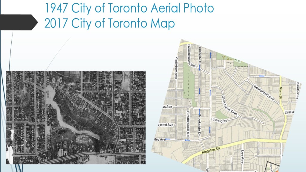
Creek east of Glenmount Park Road, May 11, 1933Glenmount Park Fill, May 11, 1933Pond east of Glenmount Park Road, March 3, 1934Creek west of Glenmount Park Road, May 11, 1933Pond west of Glenmount Park Road, March 5, 1934Rear of south side Corley Ave at Golfview Ave – November 3, 1927Rear of south side Corley Ave at Woodbine Ave – November 3, 1927Ravine, Corley Avenue, ca. 1930 courtesy of Rae WhiteComparison 1947 to 2017